chevron_left Back to Resources
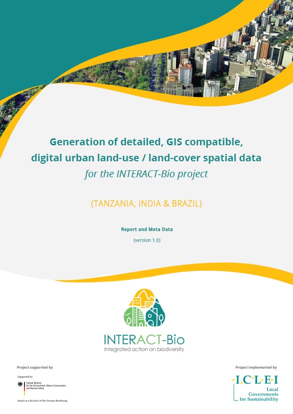
Generation of detailed, GIS compatible, digital urban land-use / land-cover spatial data
library_books
Publications & reports


Download:
Related ICLEI Pathway(s)
Nature-based development
About
Resource summary
Since no formal geo-spatial representation of each City Region Boundary (CRB) existed, other than in broad conceptual terms, the first priority was to develop a set of generic geographic spatial modelling rules that could be used to define the actual CRB areas, as well as define other areas in the future. These rules were to be developed using appropriate satellite imagery as the primary reference base against with the CRB boundaries could be determined.
Related resources

arrow_outward
library_books
Publications & reports
City of Johannesburg Goods and Services Assessment
library_books
Publications & reports

arrow_outward
video_camera_front
Webinars & videos
Nature-Based Solutions for African Cities: The Human Rights-Based Approach
video_camera_front
Webinars & videos

arrow_outward
library_books
Publications & reports
5 strategies to integrate nature into urban planning for resilient African cities
library_books
Publications & reports


