Follow a
  See our
  View our
 Download the


Download:
Related ICLEI Pathway(s)
About
Resource summary
KwaZulu-Natal Province and the coastal city of Durban in eThekwini Municipality have a high flood risk, which is likely to intensify with climate change. The city is vulnerable to intense storms and sea-level rise due to climate change. The city has relatively high annual rainfall, particularly during the summer months, as a result of its location on the east coast of South Africa. It is significantly impacted by cut-off low pressure systems, which have been responsible for major floods in the city. This weather phenomenon is where a low-pressure area becomes isolated or “cut off” from the primary jet stream, allowing it to linger over a region for several days. The city has experienced flooding almost every year during recent decades, and these floods are likely to increase in the future under a changing climate. The impacts of high rainfall events are exacerbated by the physical environment (steep slopes, soft soils and unstable geology that increases the likelihood of slippage and landslides), the degraded state of the natural environment in catchments (including increased prevalence of invasive alien plants), rapid urbanisation and challenges with city infrastructure, planning and disaster response. In the 2022 floods, soils were already inundated due to a prolonged La Nina event in the same year.
Related resources
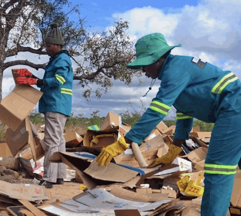
Advancing waste projects in Africa
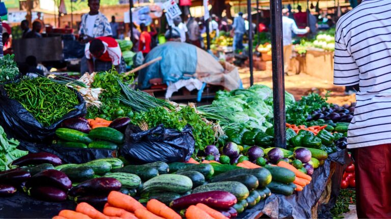
How urban food markets contribute to the food security pillars
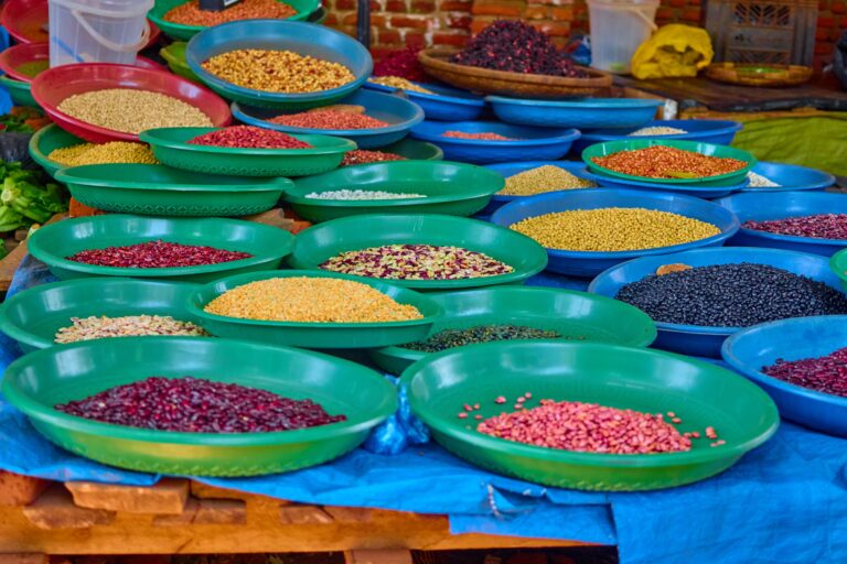
Strengthening urban nutrition: an action framework for urban food markets
Advancing waste projects in Africa
How urban food markets contribute to the food security pillars