22 April 2026
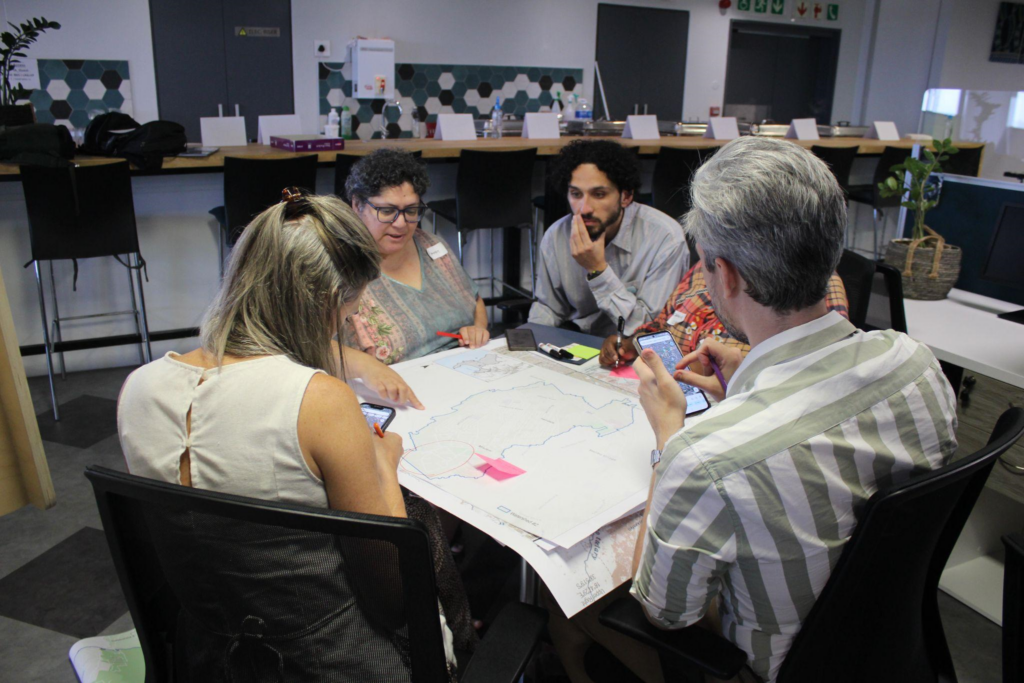
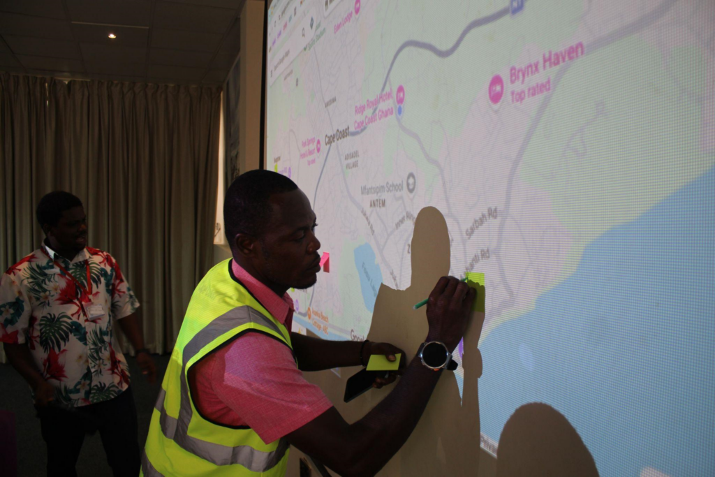
What if cities with limited climate data could still access high-resolution risk maps, and use them to protect lives, infrastructure, and investments?
Earlier this month, ICLEI Africa and NYU’s Urban Systems Lab (USL) hosted two hands-on workshops in Cape Town, South Africa and Cape Coast, Ghana to test and validate the ClimateIQ tool as part of the CO-AI project.
Developed by USL with support from Google.org, ClimateIQ uses machine learning to map heat and flooding risks with greater accuracy, finer detail, and significantly reduced computing times and costs. For many African cities, where high-quality climate data is often limited, this kind of innovation has potential to unlock access to decision-ready information that would otherwise be out of reach.
This matters because better data leads to better decisions. With clearer insights into where risks are concentrated, cities can prioritise infrastructure upgrades, guide safer urban expansions, and strengthen early warning and preparedness systems. Ultimately, tools like ClimateIQ support cities to reduce losses, protect vulnerable communities, and invest smarter in long-term resilience.
What makes ClimateIQ particularly innovative is how it leverages machine learning trained on data-rich cities to generate useful risk insights for cities with limited data. By combining elevation, green space, soil, building footprints, landcover, and climate data, the tool can identify vulnerable areas at a scale of 10 meters or less, a level of detail that supports street-level planning and targeted interventions. It produces open-source spatial data that can integrate directly into city workflows and mapping systems, making outputs practical, not just technical.
However, technology alone does not create impact. Local relevance and usability are what turn innovation in action.
That is why the City of Cape Town and Cape Coast Metropolitan Assembly are serving as the first African cities to test the tool in real-world conditions. Through engagement with government officials, researchers, and civil society organisations, the workshops focused on validating model outputs, identifying data gaps, and exploring how ClimateIQ can be embedded into everyday planning and risk management processes.
These sessions went beyond demonstrations. They included collaborative mapping, scenario testing, and workflow integration discussions, ensuring the tool aligns with how cities actually operate and make decisions.
This kind of co-production is essential. It ensures that climate information tools are not only technically robust but also usable, trusted, and actionable, particularly in cities facing increasing heat, flooding, and infrastructure pressures.
As climate risks intensify across African cities, innovations like ClimateIQ demonstrate what is possible when cutting-edge technology meets local knowledge and city leadership. By making high-resolution risk insights more accessible, this work helps cities move from reactive responses to proactive, data-driven resilience planning, with tangible benefits for communities most exposed to climate hazards.
The CO-AI project is supported by the Climate Change AI Foundation.