chevron_left Back to News updates
2 July 2020

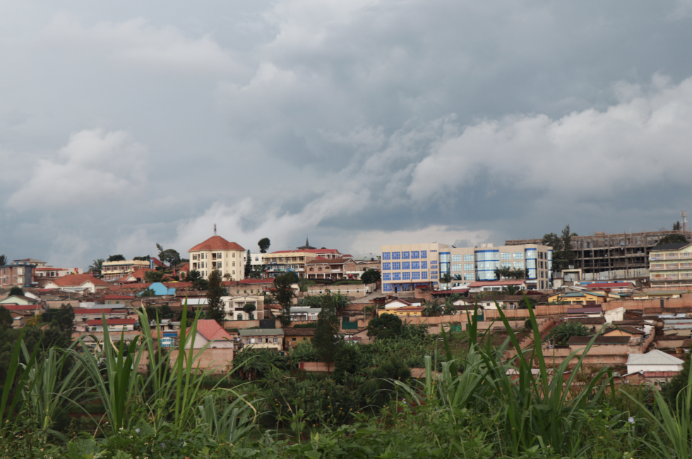
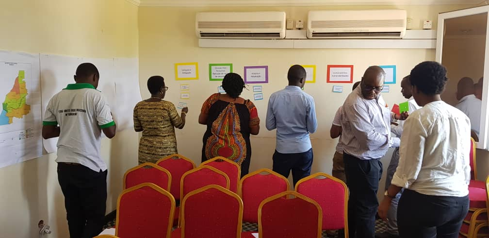
Lived experience shapes climate research: Using community insight to understand hazards, risks, and disaster implications in Rwanda

Communities can play a big role in identifying local hazards and understanding the implications these hazards have for their cities. The climate risk and vulnerability assessments developed for three Rwandan districts under the Urban LEDS II project use local knowledge to prepare cities for the future.

top right mosaic bottom left mosaic

Across the globe, cities are increasingly experiencing the impacts of climate change. These come in the form of more frequent and intense climate-related hazards. Rwanda is no exception. In fact, developing countries are most likely to experience the more dire impacts of climate change. In many instances these climate hazards have devastating impacts on the lives and livelihoods of local communities who may have limited resources to respond and recover.

Especially as the world starts to emerge from the Covid-19 pandemic and begins processes of economic recovery, it is critical to consider climate risk and vulnerability, so that the gains made are not undermined as we increasingly experience the impacts of climate change.

In Africa, the data needed to understand hazard-related events – and ultimately the risks and vulnerabilities – are often lacking. Fortunately, on-the-ground knowledge from local residents and government officials are filling these gaps, perhaps more effectively than more traditional data collection methods. These people know best when certain events took place and what the implications of those events were on their livelihoods.

Creating three Climate Risk and Vulnerability Assessments for Rwanda

In March 2019, the Urban-LEDS ll team carried out Climate Risk and Vulnerability Assessments (RVAs) in Muhanga District, Rubavu District and the City of Kigali. These risk and vulnerability assessments were carried out in line with the requirements included in the GreenClimateCities (GCC) Program which offer cities a proven process methodology for walking step-by-step toward climate neutrality, as well as, the Global Covenant of Mayors for Climate and Energy Common Reporting Framework.

This was the first initiative of its kind at the local level that used desktop research, interviews with officials, and workshops with stakeholders from each of the communities to identify the hazards that the communities face, the impacts they encounter, and the sectors that they deem to be most affected by the hazards.

This work builds on the Rwanda Risk Atlas, launched in 2015, as a rich source of information and comprises five main risks – droughts, floods, landslides, earthquakes and windstorms. The workshops were particularly lively as they used a Participatory Vulnerability Assessment approach to determine the vulnerability of the districts to the impacts of climate change. This particular approach stimulated local stakeholders to engage in discussion. The local stakeholders also gave their views on the sectors that they felt either support or challenge adaptation to climate change.

The community, not the experts, determines the focus

Given the lack of internationally standardised and strictly quantitative frameworks for risk and vulnerability assessments, this participation-driven methodology to obtain the needed qualitative data has proven a robust approach. In essence, the method explores the ways in which a community experiences changing conditions, focusing on those that the community deems to be important rather than only relying on the assumptions of ‘experts’. The perspective is taken from the community awareness of their livelihoods, the socio-political context, and determination of support from overarching institutions such as civil society and the government.

Rwanda’s climate risks and vulnerable groups

The main hazards identified across all the districts through the RVA process included landslides, flash/surface floods, rainstorms and strong winds. These are key areas of consideration when looking at the high urbanisation rates and expansion across the country. As it stands, Kigali accommodates close to 50% of the urban population across the country. With such a high rate of urbanisation, urban sprawl means that many vulnerable communities settle in high-risk areas. The secondary cities, that include the Muhanga and Rubavu Districts, will certainly play a big role in alleviating some of this pressure. But these districts are located in the provinces with some of the highest historical incidences of floods reported, so they will also have to pay close attention to their planning processes to reduce risk.

The workshops identified children, the elderly, disabled persons, farmers and low income households among the groups most vulnerable to the current hazards and also most susceptible to future impacts of the hazards as the climate changes. This certainly points towards key areas of consideration as the nation’s development progresses. However, considering that Rwanda is ranked highly in sub-Saharan Africa for doing business and institutional development, the policies and practices are evidently being cultivated to meet the needs of the people. With strong governance, Rwanda has the potential to address the sectors which were identified by the stakeholders as currently inhibiting adaptation to climate change.

Share on social: